e-Hong Kong Guide 2024
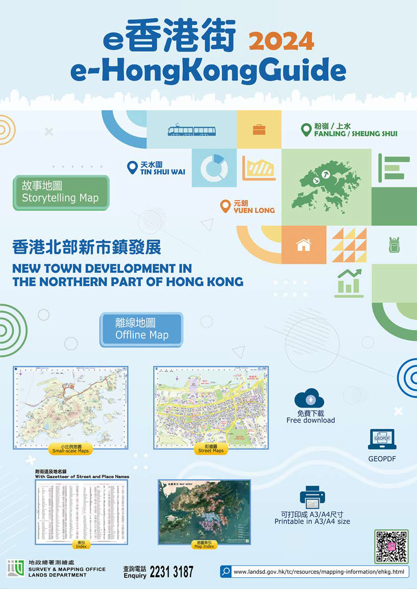
This year's edition features the new town development in the northern part of Hong Kong which will be developed into a metropolitan area. Three new towns, namely Tin Shui Wai, Yuen Long and Fanling/Sheung Shui are located within this area. The storytelling Map showcases the topographic, demographic and developmental changes of these new towns over the past decades, as well as the future development of their surrounding areas through the new interactive storytelling map.
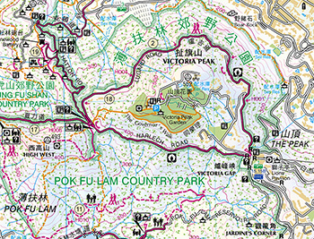
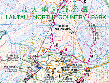
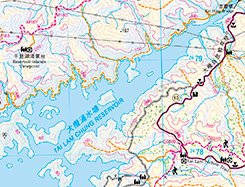
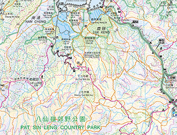
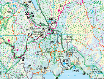
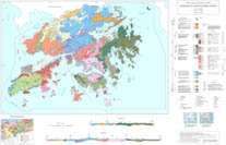
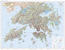
Besides, the "e-HongKongGuide" provides 119 detailed maps of Hong Kong in A3/A4 sizes, gazetteers of street and place names, and indexes of estates and buildings. These maps cover the whole territory of Hong Kong, with those for urban areas and other built-up areas in a larger scale.
The maps, in GeoPDF format, can be read on desktop computers and applications on mobile devices in offline mode. Users can easily locate their positions on the "e-HongKongGuide" maps using free map applications with satellite positioning functions. Button links are provided on the maps and indexes for easy browsing on desktop computers. Maps in A3/A4 sizes can also be printed out.
The new "e-HongKongGuide" is available for browsing and free download at the LandsD's website.
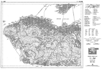
1:10 000 Street Plan
This is a street map series consisting of 59 regular sheets to cover the whole territory. It contains rich information of buildings, roads, and public facilities, with contours represented at 20m interval.
Map IndexMap Legend

