Open Data (Geospatial)
1:50 000 Digital Topographic Map
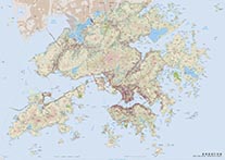
The 1:50 000 Digital Topographic Map is a topographic map of the Hong Kong Special Administrative Region. It shows the key geographical features and is suitable for map applications in 1:50 000 scale. The image for download is geo-referenced to the local coordinate system in Hong Kong 1980 Grid.
Please read the Terms and Conditions of Use of DATA.GOV.HK before download.
1:200 000 Digital Topographic Map
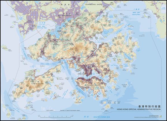
The 1:200 000 Digital Topographic Map is a topographic map of the Hong Kong Special Administrative Region. It shows the key geographical features and is suitable for map applications in 1:200 000 scale. The image for download is geo-referenced to the local coordinate system in Hong Kong 1980 Grid.
Please read the Terms and Conditions of Use of DATA.GOV.HK before download.
1:100 000 Digital Orthophoto Map
The 1:100 000 Digital Orthophoto Map is an orthophoto map of the Hong Kong Special Administrative Region. It is derived from the True Digital Orthophoto (TDOP) Series. Digital photogrammetric technology is employed in data processing, ortho-rectification and mosaicking. The image for download is geo-referenced to the local coordinate system in Hong Kong 1980 Grid.
Users could visit the CSDI Portal to preview and download the 1:100 000 Digital Orthophoto Map.
Digital Orthophoto
The Digital Orthophoto is an image map produced by the SMO that provides visual representation of ground features extracted from geometrically rectified aerial photographs. It is characterized by its use of the Hong Kong 1980 Grid system for coordinate reference and a consistent scale for accurate representation. Through the application of digital photogrammetry technology, the rectification process aims to eliminate geometric distortions caused by topographic relief and camera tilt present in the original aerial photographs.
Currently, the Digital Orthophoto consists of six distinct series of products: DOP5000, DOP5000-1982, DOP1000-1963, DOP1000-1982, DOPM50-L0, and TDOP. These series are classified based on factors such as image resolution size, types of source photographs, and the specific orthophoto processing techniques employed. The resulting orthophotos are stored in the GeoTIFF image formats, accompanied by geo-referencing data in a World format.
Users could visit the CSDI Portal to preview and download the Digital Orthophoto.
Digital Aerial Photo (L0 version) (DAP-L0)
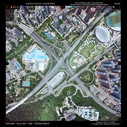
The Digital Aerial Photo (L0 Version) is a compressed image of the Digital Aerial Photo (DAP). Digital Aerial Photo (UE Version) (DAP-UE) or the scanned image of a print of an aerial photograph, whichever is available, which is saved in 300 dpi image resolution and JPEG format with a file size about 2-3 MB.
Please read the Terms and Conditions of Use of DATA.GOV.HK before download.
Aerial Photo Flight Index
The aerial photo flight index shows the aerial photo and flight information, including photo number, shooting position, photo coverage, date of flight, flying height etc., of the aerial photographs taken by Survey and Mapping Office (SMO). There are three file formats, XLS / XLSX, KML and KMZ for download. The file in KML and KMZ file format is geo-referenced to World Geodetic System (WGS84), containing both aerial photo and flight information, while the file in XLS / XLSX file format only contains the aerial photo information.
Please read the Terms and Conditions of Use of DATA.GOV.HK before download.
SatRef GNSS Real Time Raw Data Streams
The Hong Kong Satellite Positioning Reference Station Network (SatRef) has been supporting high accuracy positioning applications for public since 2010. The reference stations receive real-time GNSS signals from GPS, GLONASS and Beidou satellites round-the-clock. The GNSS Real-time raw data streams are then instantaneously disseminated via DATA.GOV.HK as part of the Open Data. They can be acquired by means of NTRIP with the appropriate settings.
Please read the Terms and Conditions of Use of DATA.GOV.HK before download.
Geodetic Survey Control Station Database
There are about 5,500 Geodetic Survey Control Stations in Hong Kong. The coordinates of these stations can be widely adopted for positioning tasks.
Please read the Terms and Conditions of Use of DATA.GOV.HK before download.
3D Visualization Map (2017)
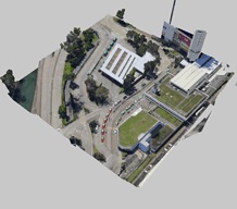
3D Visualization Map (2017) is a form of digital surface model used for spatial data visualization, query and analysis. The 3D Visualization Map (2017) is tiled with dimension of 150m x 150m. 3D Visualization Map (2017) in different districts will be launched by phases and will gradually cover the whole Hong Kong in the future.
Users could visit the CSDI Portal to preview and download the 3D Visualization Map (2017) in open formats, i.e. tiled-OSGB or OBJ format.
3D Pedestrian Network
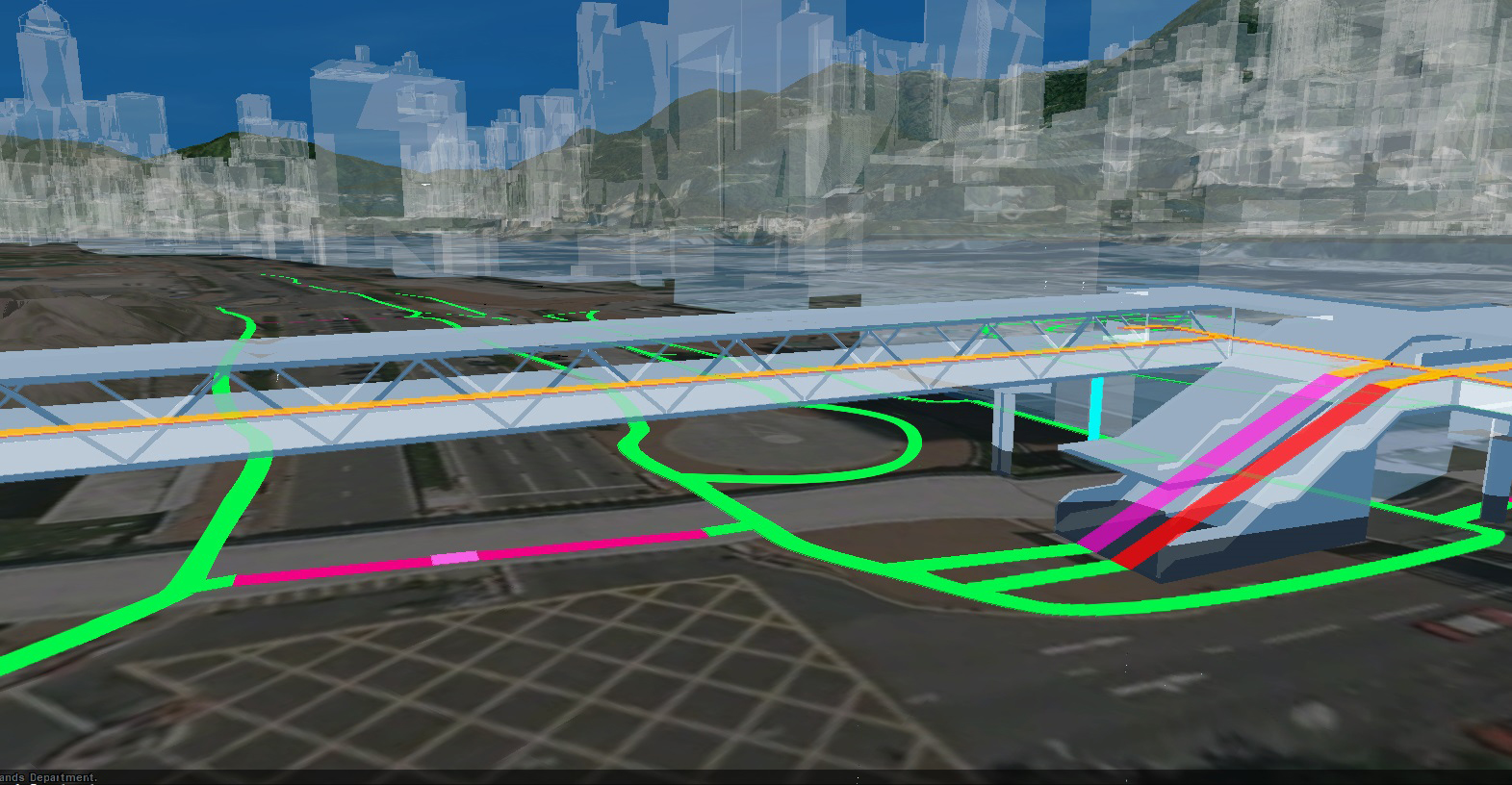
Pedestrian Network is a set of 3D line features derived from road features and road furniture from Lands Department and Transport Department. A number of attributes are associated with the pedestrian network such as spatially related street names. Besides, the pedestrian network includes information like wheelchair accessibility and obstacles to facilitate the digital inclusion for the needy.
Users could visit the CSDI Portal to preview and download the 3D Pedestrian Network.
3D Spatial Data (Series: 3D-BIT00)
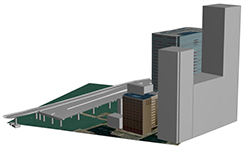
3D Spatial Data is a set of territory-wide digital 3D model data created to represent the shape, appearance and position of various types of ground features including building, infrastructure and terrain. In this dataset, the 3D models are categorized into seven secondary classes under three primary classes according to their types and level of details.
Information Sheet on 3D Spatial Data
Please read the Terms and Conditions of Use of DATA.GOV.HK before download.
Digital Terrain Model (DTM)
The DTM is a digital terrain model of the Hong Kong Special Administrative Region. It shows the topography of terrain (including non-ground information such as elevated roads and bridges) in 5-metre raster grid with an accuracy of ±5m. If land area is covered by vegetation, the terrain will be depicted by the height of vegetation.
Users could visit the CSDI Portal to preview and download the dataset.
i-Series Digital Maps
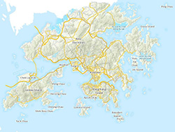
The i-Series Digital Maps, including iB1000, iB5000, iB10000 and iB20000 Digital Topographic Map, iC1000 Digital Land Boundary Map, iG1000 Geo-reference Database and iGeoCommunity Database, provide more comprehensive datasets in new data formats.
Please read the Terms and Conditions of Use of DATA.GOV.HK before download.
Historical Maps

This dataset contains old maps of Hong Kong, including "Plan of the City of Victoria Hong Kong (1889)", "Victoria Hong Kong (1897)", "Kowloon Peninsula (1892, 1947, 1963 & 1970)", "Hong Kong (1927 & 1957)", "Sha Tin (1904)", "Tsuen Wan (1958)", "Central (1938)" and "Wan Chai (1947)". The map images scanned from paper maps are geo-referenced to the Hong Kong 1980 Grid coordinate system.
Users could visit the CSDI Portal and search "Historical Maps" to browse and download the dataset.
Old Photos of Hong Kong
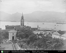
350 selected old photos of Hong Kong taken in the 1950s - 1970s showing the street views of Hong Kong, with district name tagged in the "Title" field of image file, some with street and building names.
Please read the Terms and Conditions of Use of DATA.GOV.HK before download.
Old Survey Sheets
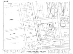
This dataset consists of about 72 000 old survey sheets in 1:600 or 1:1 200 or 1:1 000 scale published from 1920 onwards in GeoTIFF format. These survey sheet images were scanned from paper maps and geo-referenced to the Hong Kong 1980 Grid coordinate system. The geo-referenced location is for general reference only and shall not be used for any work with precision.
Users could visit the CSDI Portal and search "Old Survey Sheets" to browse and download the dataset.
Old Urban and Town Maps
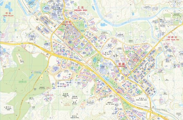
The dataset consists of 21 old urban maps and town maps covering different urban areas and new towns. They were convenient street guides for general map users.
Users could visit the CSDI Portal and download the dataset.

