News
Survey and Mapping Office of the Lands Department Launches New Geospatial Web Application – "Walkin’HK"
The “Walkin’HK” application, developed by the Survey and Mapping Office (SMO) of the Lands Department (LandsD) with support from the Spatial Data Office of the Development Bureau, is officially launched today (15 July 2026).
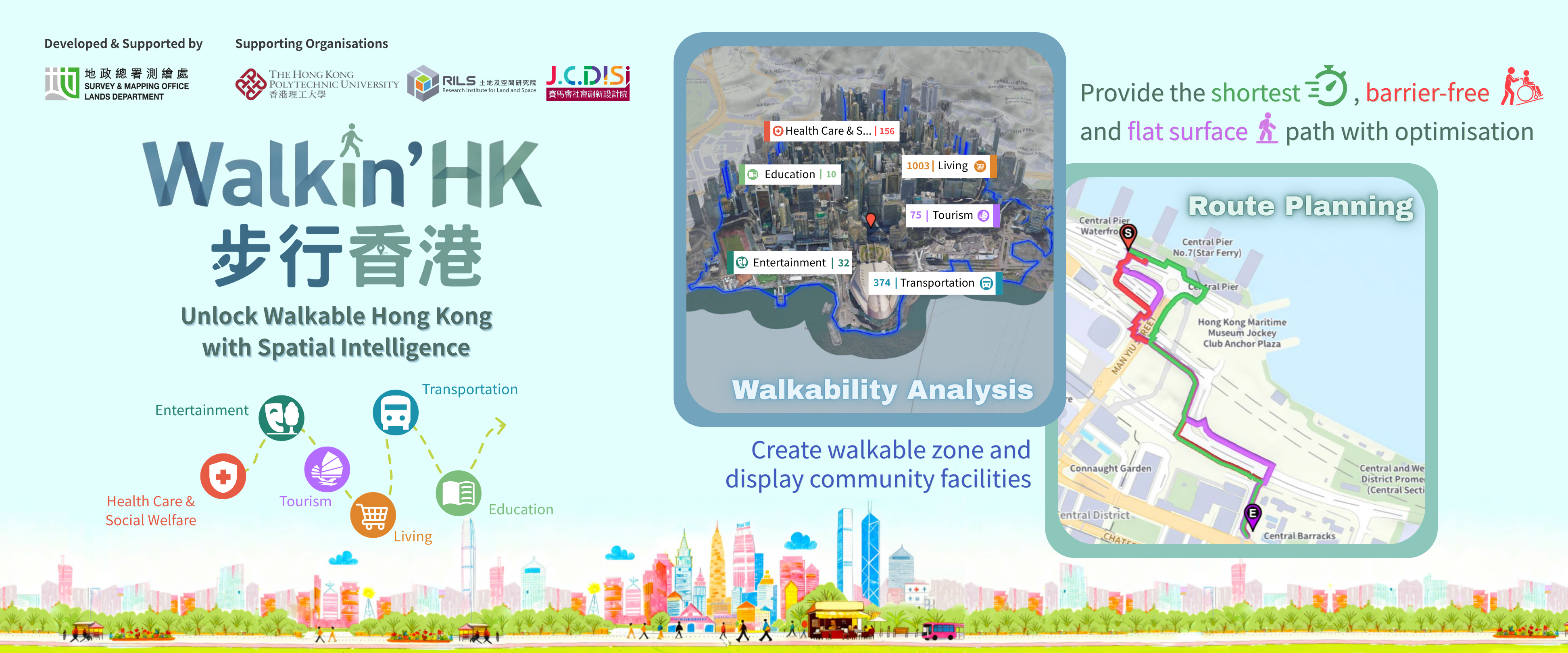
“Walkin’HK” harnesses LandsD’s 3D Digital Maps and over 240 sets of 2D and 3D spatial datasets from the Common Spatial Data Infrastructure (CSDI) Portal. The application analyses walkable zones, provides high precision and realistic 3D city model experiences, and offers diverse walking options through 3D pedestrian network designed with universal accessibility elements. It also utilises spatial analytic tools to identify surrounding community facilities. The application enables people of different ages and needs to explore their neighbourhoods more conveniently, while supporting the Government’s “15 Minute Neighbourhood” policy and promoting walking as green mode of travel.
This initiative also exemplifies multi disciplinary collaboration, with the Research Institute for Land and Space and the Jockey Club Design Institute for Social Innovation of the Hong Kong Polytechnic University working alongside LandsD’s SMO to integrate geospatial technology, academic research and social innovation for the benefit of the community.