1: 1 000 (Series: HP1C)

Series HP1C (Sheet 11-SW-9D)
Sheet size: 750 x 850 mm
This is the largest scale topographic map surveyed and plotted to scale. This series consists of 3324 sheets. It shows wealth of information with spot heights and contour at 2m interval depicted where is applicable. It proves very useful to detailed planning and cadastral purpose. The 1:1000 topographic maps are updated continuously and hardcopies are published whenever the data is updated.
Map IndexUpdating Status List (PDF)
Updating Status List (CSV)
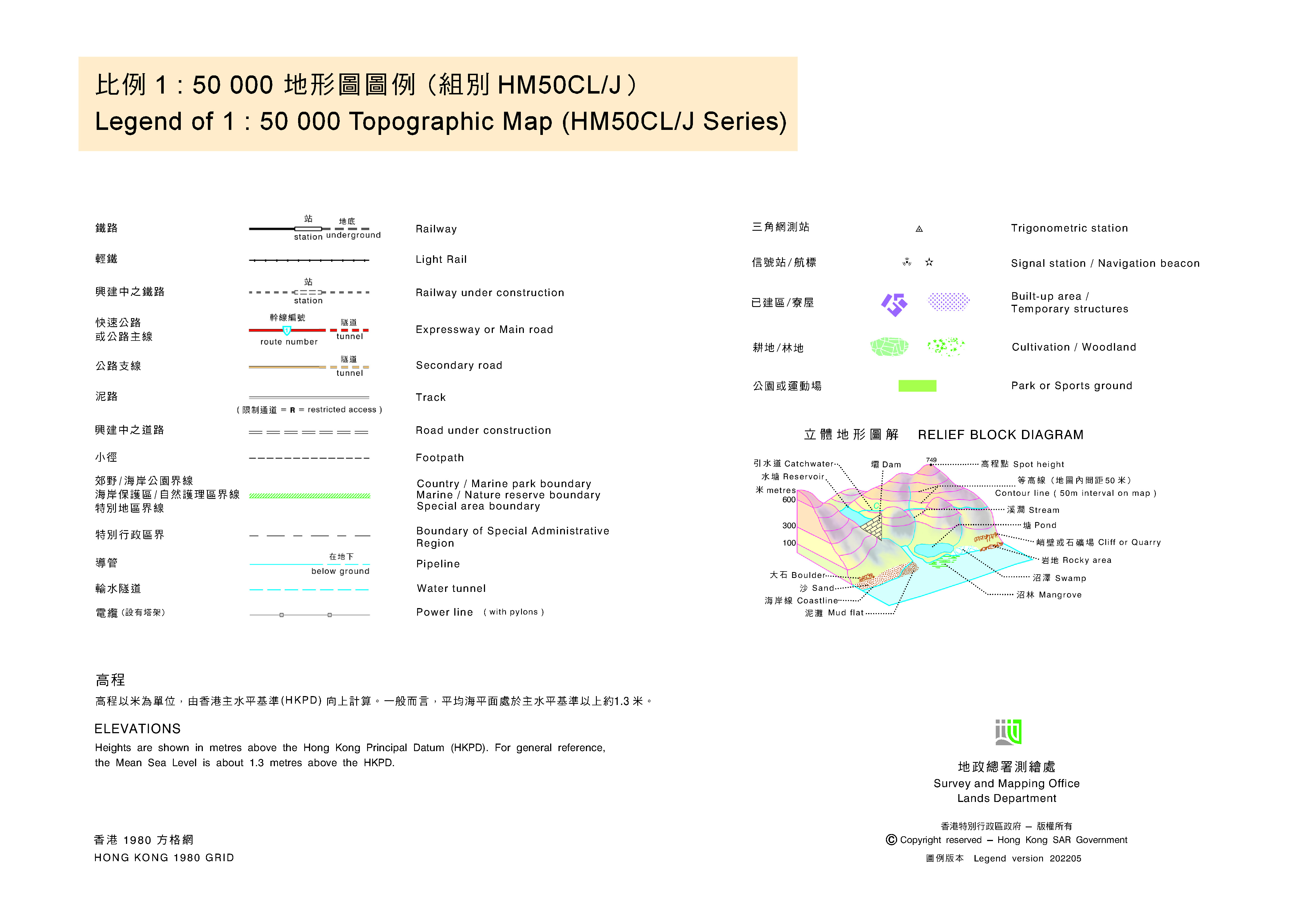
Map Legend


")
")

