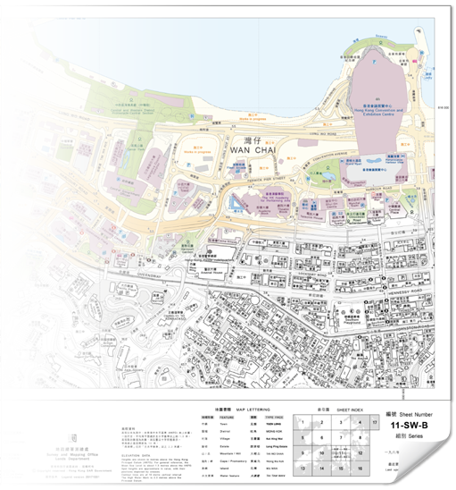
Cartography by Survey and Mapping Office, Lands Department
©Copyright reserved
©Copyright reserved


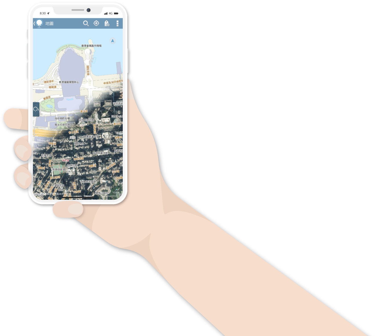
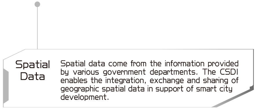
Changes in the way of life over time have transformed the practice of asking passers-by for directions into an option of tapping on the search button. “Maps in a New Era”, the theme of this annual edition, will highlight some features of a new generation of maps. Take for instance points of interests, precise co-ordinates are inputted on maps so that data on different aspects of our daily lives are linked up. This facilitates access to a wealth of information on everyday life at our fingertips, without any need to set foot elsewhere.


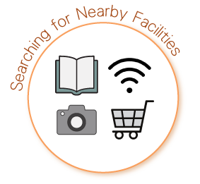


Equipped with diverse search functions, mobile maps nowadays encompass a wide array of geographic information. Be it a search for locations or community facilities, or a browse through means of public transport or traffic routes, a smartphone in hand always makes our lives much easier and more convenient.


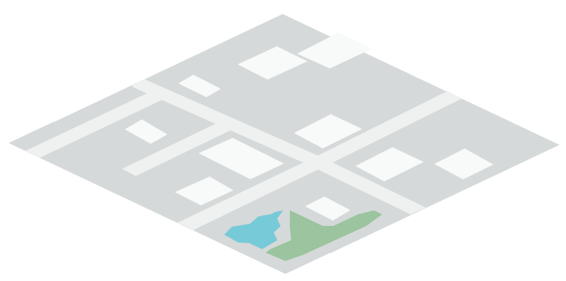
- Plane map
- Fixed map extent
- Limited geographic information
- Longer update cycle
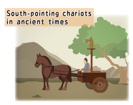
- Mostly pointing to north with south
on the opposite end - Compasses are used
- Fixed scale
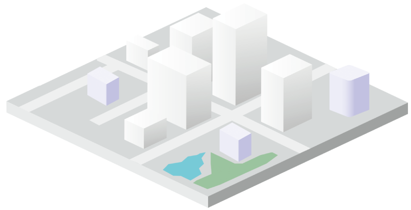
- Plane map
- Image map
- 3D map
- Dynamic map extent
- Almost unlimited and
all-encompassing
geographic information - Map search functions
- Continuous update
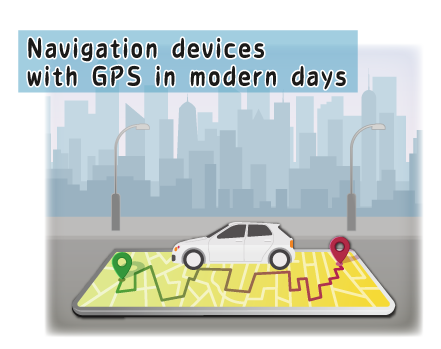
- Maps are orientated to the
user’s direction - GPS is used to provide users with
geographic information in the surroundings
- Dynamic scale


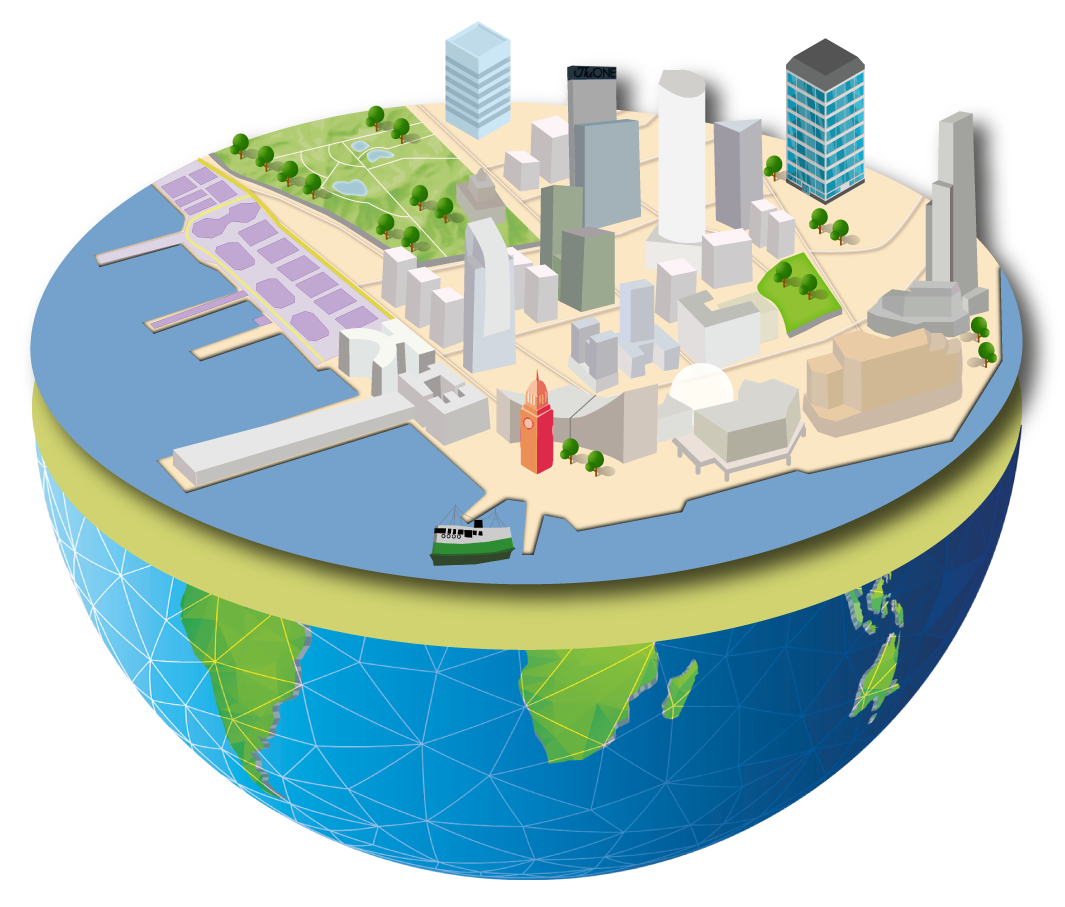


Integration of BIM model and GIS data supports the production of 3D digital maps and provides the public with readily accessible information in daily life.


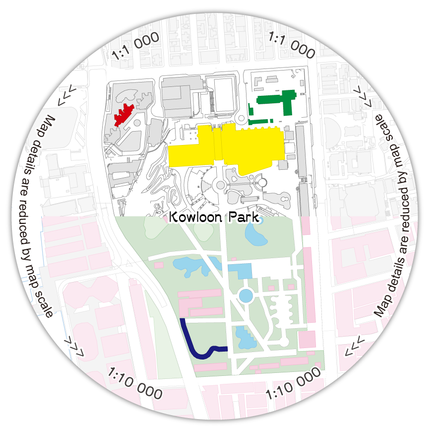
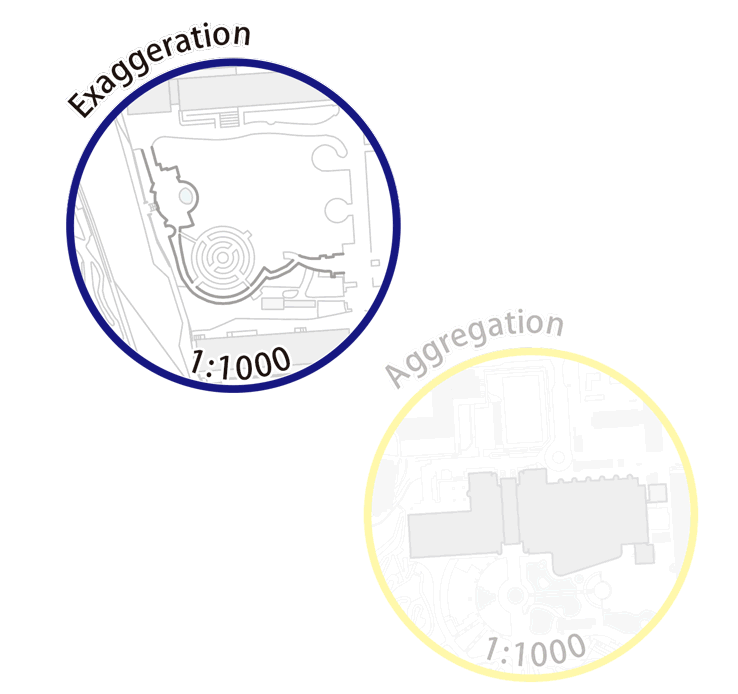
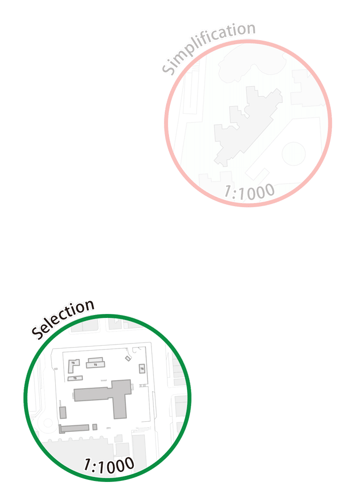


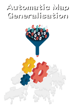
What is map generalisation?
Map generalisation is a process of reducing the amount of details on a map in a meaningful way. When the map scale is reduced, map contents will be densified. Through map generalisation a derived map can be produced with satisfying legibility. Here are some common operators used in map generalisation.

To achieve automatic map generalisation, current compilation guidelines will be converted into a rule-based format. With the use of various geoprocessing tools, computers can imitate human decisions in the map generalisation process.


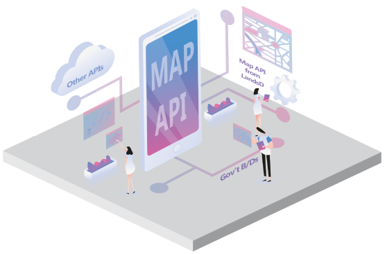


Nowadays, map applications can cater for the public’s needs, relate to their daily lives and provide them with better online map services.
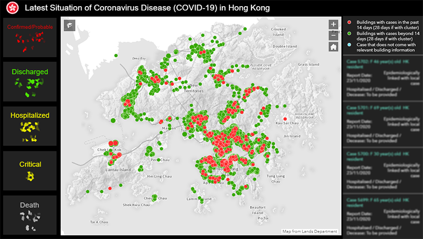
The HKSAR Government launched on February 3, 2020 this Interactive Map Dashboard for effective dissemination of information on the latest situation of the novel coronavirus epidemic in Hong Kong. The Dashboard is jointly developed and managed by the Development Bureau, Lands Department and a group of volunteers from the Smart City Consortium. After the end of the epidemic, the dashboard will continue to release information such as the locations of Accident and Emergency Departments of various hospitals and waiting time for emergency services.

Percentage of Confirmed or Probable Cases by Age Group
Percentage of Confirmed or Probable Cases by Class Classification
- Age Group (<=19) %
- Age Group (20-39) %
- Age Group (40-59) %
- Age Group (60-79) %
- Age Group (>=80) %
- Epidemiologically linked with local case %
- Local case %
- Imported case %
- Possibly local case %
- Epidemiologically linked with possibly local case %
- Epidemiologically linked with imported case %


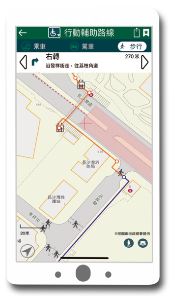


It's an all-in-one mobile application integrating TD's 3 previous mobile applications ("HKeTransport", "HKeRouting" and "eTraffic News"). It facilitates faster and more convenient search for routes of different transportation mode, journey times and fares, and disseminates real-time traffic news.
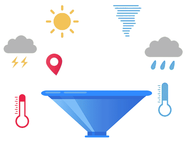
The City Dashboard, which helps the public visualise real-time dynamic Hong Kong data, is available on data.gov.hk. The dashboard presents data on environment and weather on interactive charts and maps.
